Bohol ecotourism centres on protected forests, a UNESCO-recognised geopark, marine sanctuaries and village-run tours, all visited with minimal impact. Rules and sites differ, so this guide explains what is protected and how to travel gently.
The island sits at the heart of Central Visayas, and the wider picture of the province is covered in the guide to bohol tourism. This page narrows the focus to nature, conservation and travel habits that protect them.
Bohol as a UNESCO Global Geopark
Bohol Island was named a UNESCO Global Geopark during the 216th UNESCO Executive Board session in Paris on May 24, 2023, the first such designation in the Philippines. The same report states that the geopark covers 8,808 square kilometers of land and surrounding marine protected areas, which makes the whole island and its nearby waters part of one conservation story.
A geopark is not a closed reserve. UNESCO describes geoparks as places that combine the conservation of significant geological heritage with public outreach and a sustainable approach to development, and the Bohol Island Geopark describes management that covers conservation, education, research and responsible tourism. For a visitor, that means the island is meant to be used and enjoyed, but in ways that keep caves, hills, forests and reefs intact for local communities.
The geopark highlights karst landscapes such as caves, sinkholes and the cone-shaped hills of the island’s centre, plus the Danajon double barrier reef off the northern coast. These headline features match the places most travellers already want to see, and most of them sit inside areas with their own legal protection.
Protected areas that shape a nature trip
Two land-based protected areas dominate the interior. The first is the Chocolate Hills Natural Monument. A presidential proclamation signed on July 1, 1997 set aside 1,776 hills, more or less, along with the areas around them, covering 14,145 hectares, more or less. The stated aim was to protect and maintain their natural beauty and to restrain inappropriate exploitation. The monument spans the municipalities of Carmen, Batuan, Sagbayan, Bilar, Valencia and Sierra Bullones.
The second is the Rajah Sikatuna Protected Landscape, a forested limestone landscape in the south-central uplands. It began as a national park in 1987 and was reclassified as a protected landscape under the national protected-areas law by a proclamation dated April 23, 2000. Its present area is 10,452.6 hectares according to the encyclopaedia entry on the landscape, which also describes it as the largest remaining tract of natural forest in Bohol and one of the country’s top birdwatching sites. The proclamation lists Carmen, Sierra Bullones, Garcia Hernandez, Valencia, Dimiao, Bilar and Batuan as host municipalities.
| Protected area | Status | Declared |
|---|---|---|
| Chocolate Hills Natural Monument | Natural monument under the environment department | July 1, 1997 |
| Rajah Sikatuna Protected Landscape | Protected landscape under the national protected-areas system | April 23, 2000 |
Both entries come from the Philippine presidential proclamations for the Chocolate Hills and the Rajah Sikatuna landscape.
Protected status shapes what visitors can do. Rules inside these areas follow the proclamations and the environment department, so staying on marked paths, following posted notices and paying any legitimate entrance fee at an official counter all form part of respectful travel.
The Danajon double barrier reef and marine sanctuaries
Off Bohol’s northern coast lies one of the rarest reef systems on Earth. Guinness World Records states that only six double barrier reefs have been discovered, and that the largest is the Danajon Bank, with a total area of 271.7 square km between Cebu and Bohol. The same entry says the reef formed over around 6,000 years of coral growth, supports nearly 200 threatened species and is threatened by overfishing.
That last point explains why marine sanctuaries matter: they restrict fishing so that fish stocks and corals can recover. Visitors who snorkel or dive in sanctuary waters are asked to follow local rules, since a single careless fin kick can damage coral that takes years to regrow.
Practical habits for the water are simple. Use reef-safe sun protection or a rash guard, keep fins and hands off coral, never stand on the reef, never collect shells or marine life, and decline any activity that involves feeding fish or handling turtles or other animals. Boat operators who respect sanctuary boundaries and mooring buoys are the right choice for a low-impact trip.
Community-based tours and local livelihoods
Ecotourism works best when income stays in the village. A Daily Tribune report from 28 April 2026 describes a community-based tourism immersion run by the Tourism Promotions Board Philippines with Aboitiz InfraCapital Airports, where participants visited river-based community life in Loboc, farm-to-table systems in inland areas and traditional crafts in Tubigon. The report frames this as a shift from landmark-hopping toward experiences that highlight local culture, food and livelihoods.
For independent travellers the lesson is practical. Choose guides who live in the area, eat at family-run kitchens, buy crafts directly from the people who make them, and ask permission before photographing people. Tours run by local cooperatives or village organisations are a good way to keep spending close to the people who host visitors.
Community tours also tend to spread visitors out. Rather than queueing at the busiest viewpoint, travellers can add a village walk, a weaving workshop, a farm meal or a paddle on a quieter stretch of river to a day plan, which lowers pressure on the most crowded sites.
Wildlife etiquette: tarsiers, birds and marine animals
The Philippine tarsier is the island’s best-known animal and is listed as Near Threatened by the IUCN. The same entry notes that camera flashes, being touched and being kept in an enclosure stress these shy, nocturnal animals, and that stress can lead them to injure themselves. For visitors the rules follow directly: no flash, no touching, no loud voices, no lingering beside a resting animal, and no encouragement of any operator who lets guests pick tarsiers up for photographs.
Birdwatchers have their own etiquette. Keep to trails, avoid playback of recorded calls near nesting areas, and keep voices low in forest edges. Early morning is usually the quietest period in the Rajah Sikatuna forest, and a local guide can point out species without disturbing them.
The same rule of distance applies at sea. When boats approach dolphins or whales, they should keep a respectful distance, avoid chasing animals and cut engines when animals are close, following the guidance of the local operator and the municipal rules. Feeding, touching or swimming up to wildlife is never part of responsible viewing.
Low-impact habits for the whole trip
- Carry reusable items. A refillable bottle, a cloth bag and a small trash pouch keep plastic out of rivers, beaches and caves.
- Stay on marked paths. Shortcuts through forest and hills cause erosion and trample roots and seedlings.
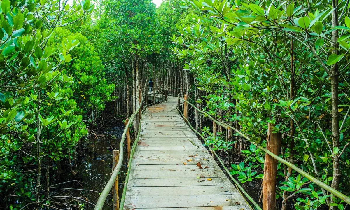
- Respect quiet hours. Noise from speakers and group shouting carries far in forest and mangrove areas and disturbs wildlife and neighbours.
- Buy local. Locally grown food and locally made goods keep money on the island and cut transport emissions.
- Pick your timing. Visiting early or late in the day spreads crowds and is often cooler.
- Leave natural objects alone. Shells, corals, rocks and plants belong where they are, and removing them damages the places other visitors come to see.
This page is an independent travel guide. It is not run by the Bohol provincial government, the tourism office, a tour operator, a resort or a sanctuary, and it takes no bookings. Fees, schedules and access rules change, so confirm them with the site itself before travelling.
Getting there with a lighter footprint
Most overseas visitors arrive by air at the Bohol Panglao International Airport, which the Tribune report above names as an entry point that opens pathways for communities to share their stories. Full route options by plane and ferry are set out in the guide on how to get to bohol.
A lower-impact itinerary usually means fewer, longer stays rather than many one-night stops, shared vehicles instead of private cars where practical, and a mix of coast, forest and village stops so no single site carries the whole load.
Frequently asked questions
Is Bohol a good destination for ecotourism?
Yes. The island is a UNESCO Global Geopark, holds two nationally declared protected areas in its interior and borders the Danajon double barrier reef, so nature-based travel is built into the province’s identity.
Can visitors touch or hold tarsiers?
No. Touching and camera flash stress the animals, which are nocturnal and shy. Responsible visitors watch quietly from a distance and avoid operators who allow handling.
Do protected areas in Bohol charge entrance fees?
Some sites and trails charge fees that change over time, so the current amount should be confirmed at the site. Only pay at official counters and keep the receipt.
How can travellers make sure their money supports local communities?
Hire local guides, eat in family-run places, buy crafts from the makers and choose cooperative- or community-run tours where available.